Geolocate

Cuchillo Parado topographic map

Click on the map to display elevation.

About this map

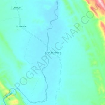
Name: Cuchillo Parado topographic map, elevation, terrain.

Location: Cuchillo Parado, Coyame del Sotol, Chihuahua, Mexico (29.42119 -104.89621 29.46119 -104.85621)

Average elevation: 910 m

Minimum elevation: 893 m

Maximum elevation: 981 m

Gear up for your next adventure:

🔦UV Flashlight - Detect minerals or specific insects in the dark
🥾Mountain Hiking Shoes - Shoes with superior grip for mountainous terrain
🥾Approach Shoes - Shoes designed for climbing approaches and rugged trails
🥾Trail Running Shoes - Lightweight and durable shoes for trail running
🗺️Topographic Maps - Detailed maps to explore trails, mountains, and wilderness areas

As an Amazon Associate, this site earns from qualifying purchases at no extra cost to you.