
Saras East topographic map
Interactive map
Click on the map to display elevation.
About this map
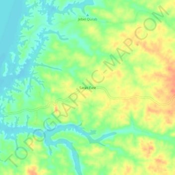
Name: Saras East topographic map, elevation, terrain.
Location: Saras East, Nord, Soudan (21.54667 31.08000 21.58667 31.12000)
Average elevation: 197 m
Minimum elevation: 176 m
Maximum elevation: 222 m