Geolocate

Taft topographic map

Click on the map to display elevation.

About this map

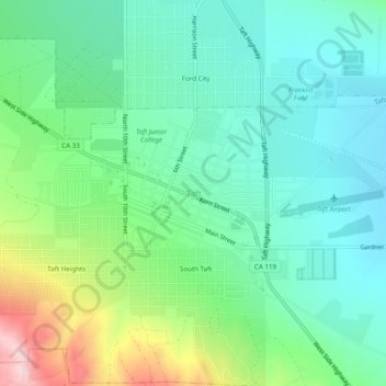
Name: Taft topographic map, elevation, terrain.

Location: Taft, Kern County, California, 93268, United States (35.12247 -119.47651 35.16247 -119.43651)

Average elevation: 301 m

Minimum elevation: 229 m

Maximum elevation: 485 m

Gear up for your next adventure:

🧢Sun Protection Cap - Breathable cap to protect from sun exposure
Camping Tent - Weather-resistant tents suitable for 2 to 6 people
🧭GPS Outdoor Watch - Smart watch for navigation and fitness tracking in nature
🧦Outdoor Socks - Durable socks designed for hiking and outdoor sports
🎒Hiking Backpack - Lightweight and ergonomic backpacks for day hikes or multi-day treks

As an Amazon Associate, this site earns from qualifying purchases at no extra cost to you.