
Iglesias topographic map
Interactive map
Click on the map to display elevation.
About this map
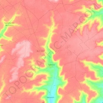
Name: Iglesias topographic map, elevation, terrain.
Location: Iglesias, Burgos, Castille-et-León, Espagne (42.27047 -4.05704 42.34476 -3.94947)
Average elevation: 916 m
Minimum elevation: 809 m
Maximum elevation: 957 m