Geolocate

Gamleby topographic map

Click on the map to display elevation.

About this map

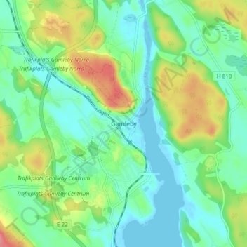
Name: Gamleby topographic map, elevation, terrain.

Location: Gamleby, Västerviks kommun, Kalmar County, 594 30, Sweden (57.87982 16.38826 57.91982 16.42826)

Average elevation: 26 m

Minimum elevation: -5 m

Maximum elevation: 82 m

Other topographic maps

Click on a map to view its topography, its elevation and its terrain.

Kalmar kommun

Sweden > Kalmar County

Average elevation: 28 m

Mönsterås kommun

Sweden > Kalmar County

Average elevation: 26 m

Gear up for your next adventure:

💧Filtered Water Bottle - Safe drinking water on the go
💡LED Headlamp - Hands-free illumination for night hiking and camping
🧢Outdoor Visor - Breathable visor for sunny hikes
🥾Lightweight Hiking Shoes - Comfortable shoes for day hikes
🔭Outdoor Binoculars - Lightweight binoculars for birdwatching and hiking

As an Amazon Associate, this site earns from qualifying purchases at no extra cost to you.