Geolocate

Upli topographic map

Click on the map to display elevation.

About this map

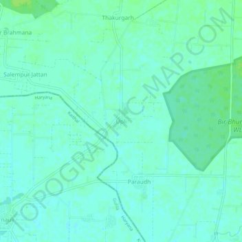
Name: Upli topographic map, elevation, terrain.

Location: Upli, Patiala Tahsil, Patiala, Punjab, India (30.16850 76.41562 30.20850 76.45562)

Average elevation: 247 m

Minimum elevation: 243 m

Maximum elevation: 253 m

Gear up for your next adventure:

🧥Packable Rain Jacket - Breathable waterproof layer for unpredictable weather
🚲Bike Repair Kit - Essential tools for on-trail mechanical issues
🔭Compact Binoculars - Lightweight optics for scouting trails and wildlife
🛶Canoe Life Vest - Safety vest for water sports
🧢Hiking Hat - Sun-protective and breathable hats for long treks

As an Amazon Associate, this site earns from qualifying purchases at no extra cost to you.