Geolocate

Ohoka topographic map

Click on the map to display elevation.

About this map

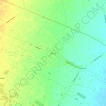
Name: Ohoka topographic map, elevation, terrain.

Location: Ohoka, Waimakariri District, Canterbury, 7692, New Zealand (-43.38306 172.55766 -43.34306 172.59766)

Average elevation: 22 m

Minimum elevation: 8 m

Maximum elevation: 37 m

Other topographic maps

Click on a map to view its topography, its elevation and its terrain.

Oxford

New Zealand > Canterbury > Waimakariri District

Average elevation: 241 m

Oxford

New Zealand > Canterbury > Waimakariri District

Average elevation: 241 m

Gear up for your next adventure:

🌬️Windproof Camp Stove - Efficient cooking even on exposed mountain peaks
💧Collapsible Water Bottle - Space-saving water bottle for outdoor activities
🎒Hiking Backpack - Lightweight and ergonomic backpacks for day hikes or multi-day treks
🥾Hiking Boots - Sturdy boots providing ankle support and traction on rugged trails
🔭Outdoor Binoculars - Lightweight binoculars for birdwatching and hiking

As an Amazon Associate, this site earns from qualifying purchases at no extra cost to you.