
Tunu topographic map
Interactive map
Click on the map to display elevation.
About this map
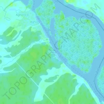
Name: Tunu topographic map, elevation, terrain.
Location: Tunu, Ekeremor, Bayelsa State, Nigeria (5.09134 5.42809 5.13134 5.46809)
Average elevation: 4 m
Minimum elevation: -8 m
Maximum elevation: 14 m
Other topographic maps
Click on a map to view its topography, its elevation and its terrain.
Semewata
Nigeria > Bayelsa State > Ekeremor
Semewata, Ekeremor, Bayelsa State, Nigeria
Average elevation: 1 m