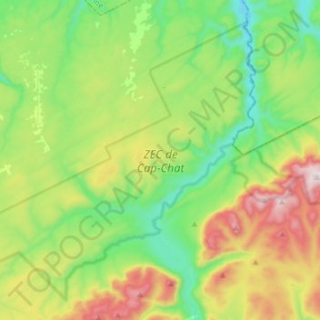
ZEC de Cap-Chat topographic map
Interactive map
Click on the map to display elevation.
About this map
Name: ZEC de Cap-Chat topographic map, elevation, terrain.
Average elevation: 392 m
Minimum elevation: 35 m
Maximum elevation: 1,141 m

Click on the map to display elevation.
Name: ZEC de Cap-Chat topographic map, elevation, terrain.
Average elevation: 392 m
Minimum elevation: 35 m
Maximum elevation: 1,141 m