Geolocate

Lipan topographic map

Click on the map to display elevation.

About this map

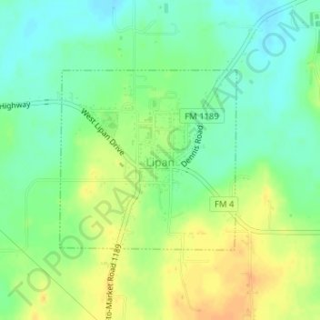
Name: Lipan topographic map, elevation, terrain.

Location: Lipan, Hood County, Texas, United States (32.51102 -98.05594 32.52621 -98.03823)

Average elevation: 281 m

Minimum elevation: 266 m

Maximum elevation: 298 m

Gear up for your next adventure:

🔦UV Flashlight - Detect minerals or specific insects in the dark
🛏️Sleeping Bag - Warm and compact sleeping bags for outdoor camping
🥾Light Trekking Boots - Supportive boots for multi-day treks
🥾Approach Boots - Comfortable boots for hiking and climbing approaches
🪜Heavy Duty Carabiners - Multi-use clips for securing gear to your backpack

As an Amazon Associate, this site earns from qualifying purchases at no extra cost to you.