Geolocate

La Quadra topographic map

Click on the map to display elevation.

About this map

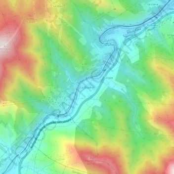
Name: La Quadra topographic map, elevation, terrain.

Location: La Quadra, Güeñes, Vizcaya, País Vasco, 48820, España (43.20334 -3.04167 43.24334 -3.00167)

Average elevation: 276 m

Minimum elevation: 18 m

Maximum elevation: 740 m

Gear up for your next adventure:

🥤Collapsible Travel Cup - Saves space and weight in your mess kit
🥘Camping Cookware Set - Compact nesting pots and pans for trail cooking
🥾Light Trekking Boots - Supportive boots for multi-day treks
🔥Camping Stove - Portable stoves to cook outdoors with ease
🥫Freeze-Dried Meals - Lightweight, high-calorie nutrition for multi-day treks

As an Amazon Associate, this site earns from qualifying purchases at no extra cost to you.