Geolocate

Nowendoc topographic map

Click on the map to display elevation.

About this map

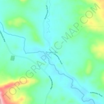
Name: Nowendoc topographic map, elevation, terrain.

Location: Nowendoc, Walcha Council, New South Wales, Australia (-31.53337 151.69713 -31.49337 151.73713)

Average elevation: 879 m

Minimum elevation: 834 m

Maximum elevation: 1,023 m

Other topographic maps

Click on a map to view its topography, its elevation and its terrain.

Tuggolo Creek

Australia > New South Wales > Nowendoc

Average elevation: 577 m

Gear up for your next adventure:

🥾Lightweight Hiking Shoes - Comfortable shoes for day hikes
🧦Hiking Liner Socks - Thin base layer to prevent friction and blisters
🧢Hiking Hat - Sun-protective and breathable hats for long treks
🧥Insulated Jacket - Keep warm in cold outdoor conditions
🕶️Polarized Sunglasses - Protect your eyes with durable polarized lenses

As an Amazon Associate, this site earns from qualifying purchases at no extra cost to you.