
Nil topographic map
Interactive map
Click on the map to display elevation.
About this map
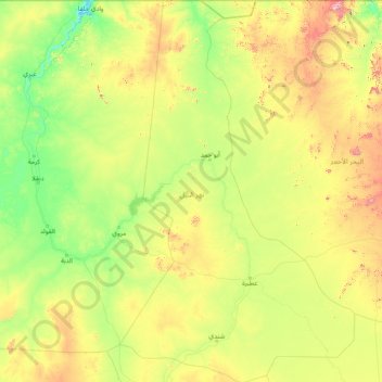
Name: Nil topographic map, elevation, terrain.
Location: Nil, Soudan (16.03299 31.82830 22.00000 35.70975)
Average elevation: 407 m
Minimum elevation: 177 m
Maximum elevation: 1,719 m
Other topographic maps
Click on a map to view its topography, its elevation and its terrain.