
Weir topographic map
Interactive map
Click on the map to display elevation.
About this map
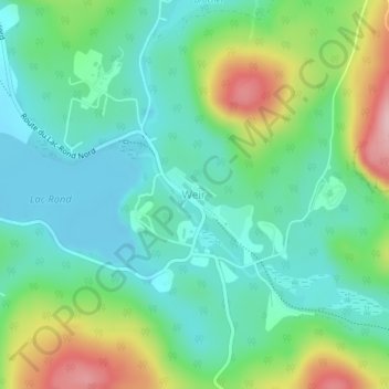
Name: Weir topographic map, elevation, terrain.
Average elevation: 238 m
Minimum elevation: 176 m
Maximum elevation: 385 m
Other topographic maps
Click on a map to view its topography, its elevation and its terrain.
Lac Verdure
Lac Verdure, Chemin du Lac-Earl ouest, Montcalm, Les Laurentides, Laurentides, Québec, Canada
Average elevation: 337 m