Geolocate

Acworth topographic map

Click on the map to display elevation.

About this map

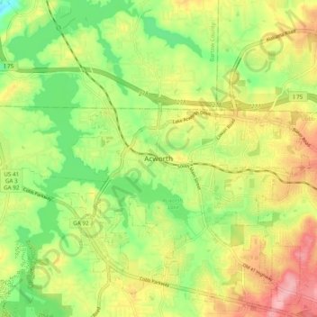
Name: Acworth topographic map, elevation, terrain.

Location: Acworth, Cobb County, Georgia, 30101, United States (34.02593 -84.71688 34.10593 -84.63688)

Average elevation: 280 m

Minimum elevation: 220 m

Maximum elevation: 348 m

Gear up for your next adventure:

🔦LED Flashlight - Powerful and long-lasting flashlight for camping and emergencies
🧢Beanie Hat - Keep your head warm in cold weather
🧦Outdoor Socks - Durable socks designed for hiking and outdoor sports
🎒Hiking Backpack - Lightweight and ergonomic backpacks for day hikes or multi-day treks
🛶Canoe Life Vest - Safety vest for water sports

As an Amazon Associate, this site earns from qualifying purchases at no extra cost to you.