Geolocate

Narganes topographic map

Click on the map to display elevation.

About this map

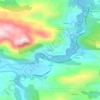
Name: Narganes topographic map, elevation, terrain.

Location: Narganes, Peñamellera Baja, Asturias, 33579, España (43.31673 -4.57393 43.35673 -4.53393)

Average elevation: 174 m

Minimum elevation: 3 m

Maximum elevation: 572 m

Gear up for your next adventure:

🧤Insulated Winter Gloves - Heavy-duty protection for sub-zero Canadian adventures
❄️Traction Ice Cleats - Slip-on spikes for icy trails and winter hiking
Family Camping Tent - Spacious tent suitable for family camping trips
Camping Tent - Weather-resistant tents suitable for 2 to 6 people
🧢Sun Protection Cap - Breathable cap to protect from sun exposure

As an Amazon Associate, this site earns from qualifying purchases at no extra cost to you.