
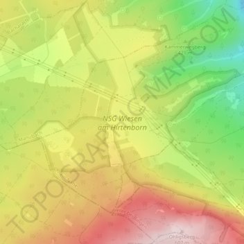
NSG Wiesen am Hirtenborn topographic map
Interactive map
Click on the map to display elevation.
About this map
Name: NSG Wiesen am Hirtenborn topographic map, elevation, terrain.
Average elevation: 447 m
Minimum elevation: 264 m
Maximum elevation: 607 m