Geolocate

Tacconotti topographic map

Click on the map to display elevation.

About this map

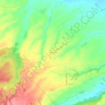
Name: Tacconotti topographic map, elevation, terrain.

Location: Tacconotti, Frascaro, Alessandria, Piemonte, Italia (44.78568 8.47885 44.82568 8.51885)

Average elevation: 159 m

Minimum elevation: 118 m

Maximum elevation: 209 m

Gear up for your next adventure:

🧶550 Survival Paracord - Versatile utility cord for emergency repairs and rigging
🧣Merino Neck Gaiter - Protects against wind, sun, and cold at high altitudes
🧭Orienteering Kit - Tools for map reading and navigation in the wild
🛰️Satellite Messenger - Emergency communication for areas with no cell service
🥾Hiking Leggings - Comfortable leggings for outdoor activities

As an Amazon Associate, this site earns from qualifying purchases at no extra cost to you.