Geolocate

Roswell topographic map

Click on the map to display elevation.

About this map

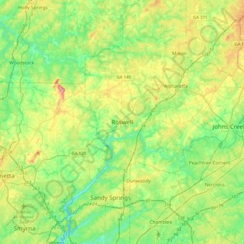
Name: Roswell topographic map, elevation, terrain.

Location: Roswell, Fulton County, Georgia, 30077, United States (33.86332 -84.52002 34.18332 -84.20002)

Average elevation: 312 m

Minimum elevation: 232 m

Maximum elevation: 487 m

Gear up for your next adventure:

🧥Softshell Hiking Jacket - The perfect balance of wind protection and breathability
🚲MTB Frame Bag - Carry tools and maps directly on your bicycle frame
🕯️Camping Lantern - Illuminates your entire campsite with high-efficiency LEDs
🕶️Polarized Sunglasses - Protect your eyes with durable polarized lenses
🧥Ultralight Puffy Jacket - Maximum warmth that packs down to the size of an orange

As an Amazon Associate, this site earns from qualifying purchases at no extra cost to you.