Geolocate

Fentress topographic map

Click on the map to display elevation.

About this map

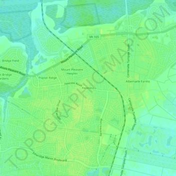
Name: Fentress topographic map, elevation, terrain.

Location: Fentress, Chesapeake, Virginia, 23322, United States (36.68209 -76.21688 36.72209 -76.17688)

Average elevation: 7 m

Minimum elevation: 0 m

Maximum elevation: 12 m

Gear up for your next adventure:

🧭GPS Outdoor Watch - Smart watch for navigation and fitness tracking in nature
🔪Outdoor Multitool - Versatile tool for repairs and food prep in the wild
🥾Mountain Hiking Shoes - Shoes with superior grip for mountainous terrain
🎒Backpack Rain Cover - External shield to keep your entire pack dry
🥾Hiking Gaiters - Protect legs and shoes from mud, snow, and debris

As an Amazon Associate, this site earns from qualifying purchases at no extra cost to you.