Geolocate

Jesup topographic map

Click on the map to display elevation.

About this map

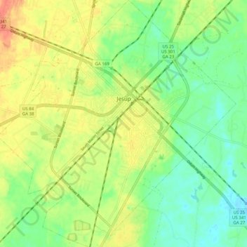
Name: Jesup topographic map, elevation, terrain.

Location: Jesup, Wayne County, Georgia, 31599, United States (31.55659 -81.93593 31.64101 -81.84041)

Average elevation: 26 m

Minimum elevation: 5 m

Maximum elevation: 50 m

Other topographic maps

Click on a map to view its topography, its elevation and its terrain.

Madray Springs

United States > Georgia > Wayne County

Average elevation: 43 m

Kentucky Island

United States > Georgia > Wayne County

Average elevation: 19 m

Gear up for your next adventure:

❄️Traction Ice Cleats - Slip-on spikes for icy trails and winter hiking
🥾Approach Shoes - Shoes designed for climbing approaches and rugged trails
🔭Compact Monocular - One-handed bird watching and trail spotting
🧦Thermal Socks - Warm socks for winter hiking or camping
🥤Collapsible Travel Cup - Saves space and weight in your mess kit

As an Amazon Associate, this site earns from qualifying purchases at no extra cost to you.