Geolocate

Calmasino topographic map

Click on the map to display elevation.

About this map

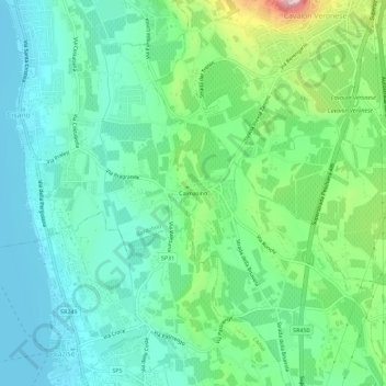
Name: Calmasino topographic map, elevation, terrain.

Location: Calmasino, Bardolino, Verona, Veneto, 37011, Italy (45.50186 10.73211 45.54186 10.77211)

Average elevation: 134 m

Minimum elevation: 62 m

Maximum elevation: 337 m

Gear up for your next adventure:

🧤Rechargeable Heated Gloves - Extreme warmth for Canadian winter expeditions
🧭Orienteering Kit - Tools for map reading and navigation in the wild
🔦LED Headlamp - Hands-free lighting for early morning starts or late finishes
🎒Hiking Daypack - Lightweight and durable backpacks for day trips and excursions
🧶550 Survival Paracord - Versatile utility cord for emergency repairs and rigging

As an Amazon Associate, this site earns from qualifying purchases at no extra cost to you.