
La Manga topographic map
Interactive map
Click on the map to display elevation.
About this map
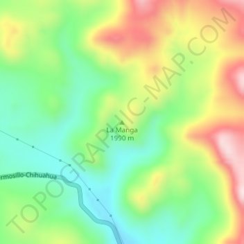
Name: La Manga topographic map, elevation, terrain.
Location: La Manga, Temósachic, Chihuahua, Mexique (28.40755 -108.29760 28.40765 -108.29750)
Average elevation: 1,939 m
Minimum elevation: 1,791 m
Maximum elevation: 2,156 m