
Erxleben topographic map
Interactive map
Click on the map to display elevation.
About this map
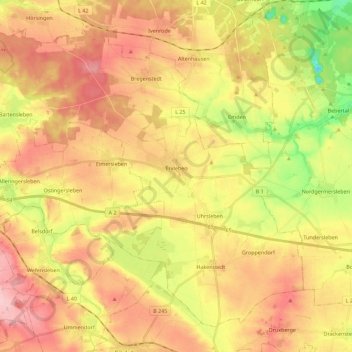
Name: Erxleben topographic map, elevation, terrain.
Location: Erxleben, Flechtingen, Börde, Saxony-Anhalt, Germany (52.15729 11.09876 52.27508 11.32358)
Average elevation: 138 m
Minimum elevation: 51 m
Maximum elevation: 208 m