Geolocate

Ashford topographic map

Click on the map to display elevation.

About this map

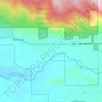
Name: Ashford topographic map, elevation, terrain.

Location: Ashford, Pierce County, Washington, United States (46.74387 -122.04555 46.76418 -121.98119)

Average elevation: 654 m

Minimum elevation: 475 m

Maximum elevation: 1,274 m

Gear up for your next adventure:

Lightweight Backpacking Tent - Compact tent for efficient hiking trips
🦶Hiking Shoe Insoles - Added support for high arches and long days on feet
🧥Thermal Layer - Insulating layer for cold outdoor conditions
🛶Waterproof Dry Bags - Keep electronics and clothes dry during river crossings
🥾Light Hiking Boots - Lightweight and comfortable boots for day hikes

As an Amazon Associate, this site earns from qualifying purchases at no extra cost to you.