Saint-Jean-de-Braye topographic map
Interactive map
Click on the map to display elevation.
About this map
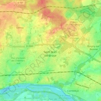
Name: Saint-Jean-de-Braye topographic map, elevation, terrain.
Average elevation: 111 m
Minimum elevation: 88 m
Maximum elevation: 133 m

Click on the map to display elevation.
Name: Saint-Jean-de-Braye topographic map, elevation, terrain.
Average elevation: 111 m
Minimum elevation: 88 m
Maximum elevation: 133 m