Geolocate

Kompally topographic map

Click on the map to display elevation.

About this map

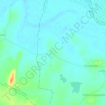
Name: Kompally topographic map, elevation, terrain.

Location: Kompally, Papannapet mandal, Medak, Telangana, India (18.06239 77.98400 18.10239 78.02400)

Average elevation: 435 m

Minimum elevation: 425 m

Maximum elevation: 480 m

Gear up for your next adventure:

🔦UV Flashlight - Detect minerals or specific insects in the dark
💡Compact LED Flashlight - Powerful and portable flashlight for outdoor use
🦶Hiking Shoe Insoles - Added support for high arches and long days on feet
Tent Footprint - Protect tent floor and increase durability
🔦LED Headlamp - Hands-free lighting for early morning starts or late finishes

As an Amazon Associate, this site earns from qualifying purchases at no extra cost to you.