
Vergara topographic map
Interactive map
Click on the map to display elevation.
About this map
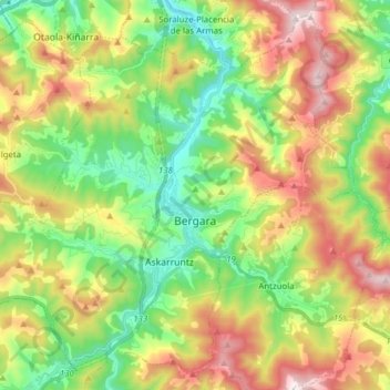
Name: Vergara topographic map, elevation, terrain.
Location: Vergara, Alto Deva, Guipúzcoa, País Vasco, España (43.07306 -2.50475 43.17673 -2.35004)
Average elevation: 416 m
Minimum elevation: 94 m
Maximum elevation: 899 m