
Thank you for supporting this site ❤️
Make a donation
Make a donation
Gear up for your next adventure:
As an Amazon Associate, this site earns from qualifying purchases at no extra cost to you.
Papuri topographic map
Click on the map to display elevation.
Thank you for supporting this site ❤️
Make a donation
Make a donation
Gear up for your next adventure:
As an Amazon Associate, this site earns from qualifying purchases at no extra cost to you.
About this map
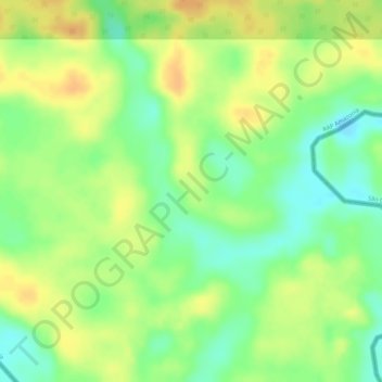
Name: Papuri topographic map, elevation, terrain.
Location: Papuri, Yavaraté, Vaupés, RAP Amazonía, Colombia (0.56029 -70.01912 0.58029 -69.99912)
Average elevation: 162 m
Minimum elevation: 143 m
Maximum elevation: 176 m
Thank you for supporting this site ❤️
Make a donation
Make a donation
Gear up for your next adventure:
As an Amazon Associate, this site earns from qualifying purchases at no extra cost to you.