
Trebesing topographic map
Interactive map
Click on the map to display elevation.
About this map
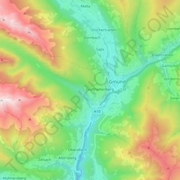
Name: Trebesing topographic map, elevation, terrain.
Location: Trebesing, Spittal an der Drau, Kärnten, 9852, Österreich (46.84566 13.36139 46.95619 13.52922)
Average elevation: 1,420 m
Minimum elevation: 625 m
Maximum elevation: 2,738 m