
Don Sak topographic map
Interactive map
Click on the map to display elevation.
About this map
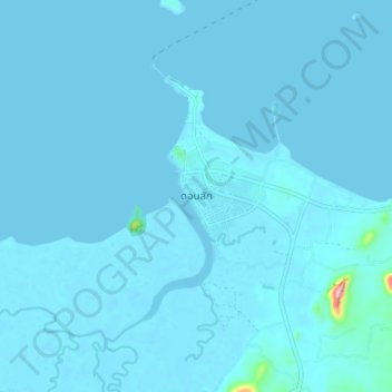
Name: Don Sak topographic map, elevation, terrain.
Location: Don Sak, Surat Thani Province, Thailand (9.27311 99.64735 9.35311 99.72735)
Average elevation: 6 m
Minimum elevation: -2 m
Maximum elevation: 225 m