
Thank you for supporting this site ❤️
Make a donation
Make a donation
Gear up for your next adventure:
As an Amazon Associate, this site earns from qualifying purchases at no extra cost to you.
Bambois topographic map
Click on the map to display elevation.
Thank you for supporting this site ❤️
Make a donation
Make a donation
Gear up for your next adventure:
As an Amazon Associate, this site earns from qualifying purchases at no extra cost to you.
About this map
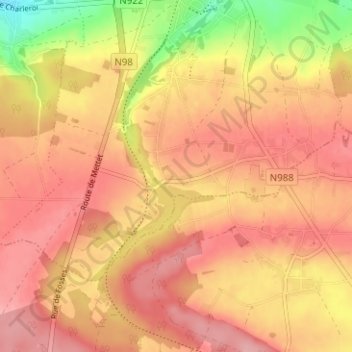
Name: Bambois topographic map, elevation, terrain.
Location: Bambois, Fosses-la-Ville, Namur, Wallonie, 5070, Belgique (50.35353 4.66640 50.39353 4.70640)
Average elevation: 236 m
Minimum elevation: 159 m
Maximum elevation: 274 m
Thank you for supporting this site ❤️
Make a donation
Make a donation
Gear up for your next adventure:
As an Amazon Associate, this site earns from qualifying purchases at no extra cost to you.