Geolocate

Pickle Crow topographic map

Click on the map to display elevation.

About this map

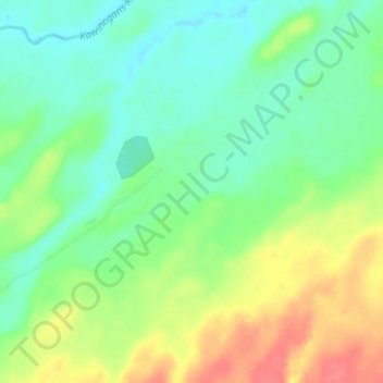
Name: Pickle Crow topographic map, elevation, terrain.

Location: Pickle Crow, Pickle Lake Township, Kenora District, Northwestern Ontario, Ontario, Canada (51.48000 -90.07000 51.52000 -90.03000)

Average elevation: 356 m

Minimum elevation: 335 m

Maximum elevation: 391 m

Kenora District trails, hiking, mountain biking, running and outdoor activities

Gear up for your next adventure:

🚲Handlebar Phone Mount - View topographic-map.com live while cycling
🛶Waterproof Dry Bags - Keep electronics and clothes dry during river crossings
🛶Kayak Dry Bag - Waterproof storage for kayaking adventures
🧥Waterproof Pants - Keep dry during rainy hiking conditions
🔋Lithium AA Batteries - Long-lasting power that performs in extreme cold

As an Amazon Associate, this site earns from qualifying purchases at no extra cost to you.