Geolocate

Wirosari topographic map

Click on the map to display elevation.

About this map

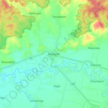
Name: Wirosari topographic map, elevation, terrain.

Location: Wirosari, Grobogan, Central Java, Java, 58192, Indonesia (-7.11760 111.05150 -7.03760 111.13150)

Average elevation: 51 m

Minimum elevation: 30 m

Maximum elevation: 98 m

Gear up for your next adventure:

🥾Trail Hiking Socks - Comfortable socks to prevent blisters and fatigue
🥾Hiking Shoes - Durable and comfortable shoes for trail hiking
🧥Packable Rain Jacket - Breathable waterproof layer for unpredictable weather
🧢Outdoor Visor - Breathable visor for sunny hikes
🔋Emergency Crank Radio - Weather alerts and power without needing batteries

As an Amazon Associate, this site earns from qualifying purchases at no extra cost to you.