Geolocate

Daha topographic map

Click on the map to display elevation.

About this map

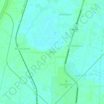
Name: Daha topographic map, elevation, terrain.

Location: Daha, Karnal, Haryana, 132037, India (29.61351 76.95193 29.65351 76.99193)

Average elevation: 246 m

Minimum elevation: 242 m

Maximum elevation: 250 m

Gear up for your next adventure:

🧦Hiking Liner Socks - Thin base layer to prevent friction and blisters
🔭Compact Binoculars - Lightweight optics for scouting trails and wildlife
🎒Hiking Daypack - Lightweight and durable backpacks for day trips and excursions
Camping Tent - Weather-resistant tents suitable for 2 to 6 people
🥾Mountain Trail Shoes - High-traction shoes for mountain trails

As an Amazon Associate, this site earns from qualifying purchases at no extra cost to you.