
Franklin topographic map
Click on the map to display elevation.
About this map
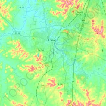
Name: Franklin topographic map, elevation, terrain.
Average elevation: 226 m
Minimum elevation: 178 m
Maximum elevation: 343 m
Other topographic maps
Click on a map to view its topography, its elevation and its terrain.
Belle Rive Highlands
United States > Tennessee > Williamson County > Brentwood
Average elevation: 224 m
Murray Lane Estates
United States > Tennessee > Williamson County > Brentwood
Average elevation: 240 m
Country Club Estates
United States > Tennessee > Williamson County > Brentwood
Average elevation: 217 m
Carrington Hills Pond
United States > Tennessee > Williamson County > Franklin
Average elevation: 224 m