Geolocate

Balongan topographic map

Click on the map to display elevation.

About this map

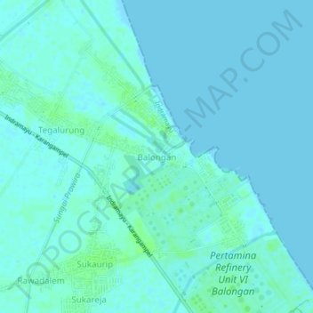
Name: Balongan topographic map, elevation, terrain.

Location: Balongan, Indramayu, West Java, Java, 45218, Indonesia (-6.37780 108.36038 -6.33780 108.40038)

Average elevation: 2 m

Minimum elevation: -2 m

Maximum elevation: 8 m

Gear up for your next adventure:

🎒Hiking Backpack - Lightweight and ergonomic backpacks for day hikes or multi-day treks
🧥Softshell Hiking Jacket - The perfect balance of wind protection and breathability
🪑Ultralight Camping Stool - Compact seating for rest stops during long hikes
💡LED Headlamp - Hands-free illumination for night hiking and camping
🛶Kayak Accessories - Essential gear for safe and fun kayaking adventures

As an Amazon Associate, this site earns from qualifying purchases at no extra cost to you.