Geolocate

Strmec Podravski topographic map

Click on the map to display elevation.

About this map

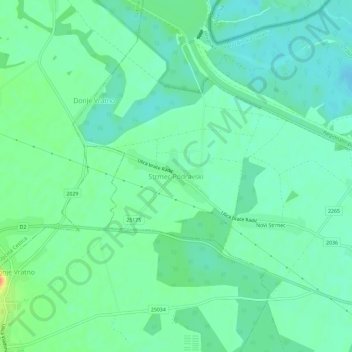
Name: Strmec Podravski topographic map, elevation, terrain.

Location: Strmec Podravski, Varaždin County, 42207, Croatia (46.34266 16.16224 46.38266 16.20224)

Average elevation: 188 m

Minimum elevation: 175 m

Maximum elevation: 219 m

Gear up for your next adventure:

🩹Moleskin Blister Pads - Direct protection for painful foot pressure points
🧥Insulated Jacket - Keep warm in cold outdoor conditions
🚲MTB Frame Bag - Carry tools and maps directly on your bicycle frame
🧰Emergency Multi-Tool - Compact multi-tool for outdoor survival
🧼Travel Hand Sanitizer - Keep hands clean when water is scarce

As an Amazon Associate, this site earns from qualifying purchases at no extra cost to you.