Geolocate

Morca topographic map

Click on the map to display elevation.

About this map

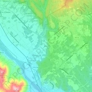
Name: Morca topographic map, elevation, terrain.

Location: Morca, Prato Sesia, Novara, Piemonte, 28077, Italia (45.63294 8.36176 45.67294 8.40176)

Average elevation: 330 m

Minimum elevation: 259 m

Maximum elevation: 520 m

Gear up for your next adventure:

🥾Waterproof Trail Shoes - Shoes designed to handle wet terrain
🧢Beanie Hat - Keep your head warm in cold weather
🧶550 Survival Paracord - Versatile utility cord for emergency repairs and rigging
🧳Compression Sacks - Maximize space in your backpack by shrinking gear
📷Outdoor Action Camera - Capture high-elevation views and rugged adventures

As an Amazon Associate, this site earns from qualifying purchases at no extra cost to you.