Geolocate

Tokwadi topographic map

Click on the map to display elevation.

About this map

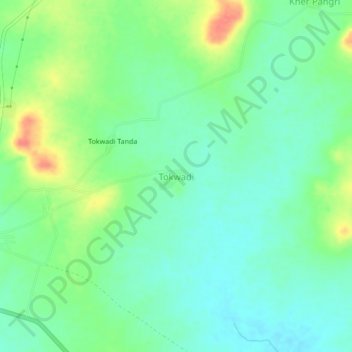
Name: Tokwadi topographic map, elevation, terrain.

Location: Tokwadi, Mantha, Jalna, Maharashtra, India (19.63817 76.39135 19.67817 76.43135)

Average elevation: 456 m

Minimum elevation: 437 m

Maximum elevation: 494 m

Other topographic maps

Click on a map to view its topography, its elevation and its terrain.

Mantha

India > Maharashtra > Mantha

Average elevation: 488 m

Gear up for your next adventure:

🧊Insulated Water Bottle - Keeps drinks cold in summer and prevents freezing in winter
🦶Hiking Shoe Insoles - Added support for high arches and long days on feet
🥾Hiking Shorts - Breathable shorts suitable for summer hikes
Tent Footprint - Protect tent floor and increase durability
🧦Hiking Liner Socks - Thin base layer to prevent friction and blisters

As an Amazon Associate, this site earns from qualifying purchases at no extra cost to you.