Geolocate

Maltondi topographic map

Click on the map to display elevation.

About this map

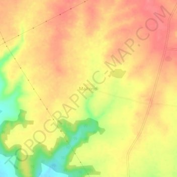
Name: Maltondi topographic map, elevation, terrain.

Location: Maltondi, Mantha, Jalna, Maharashtra, 431504, India (19.70938 76.38075 19.74938 76.42075)

Average elevation: 516 m

Minimum elevation: 469 m

Maximum elevation: 539 m

Other topographic maps

Click on a map to view its topography, its elevation and its terrain.

Mantha

India > Maharashtra > Mantha

Average elevation: 488 m

Gear up for your next adventure:

🌬️Windproof Camp Stove - Efficient cooking even on exposed mountain peaks
🩹Compact First Aid Kit - Pre-packed essentials for common trail injuries
👟Sport Hiking Sandals - Breathable footwear for water crossings and camp rest
🕶️Polarized Sunglasses - Reduces glare from snow and water at high elevations
🛏️Camping Sleeping Mat - Comfortable mats for sleeping outdoors

As an Amazon Associate, this site earns from qualifying purchases at no extra cost to you.