Geolocate

Raxaul topographic map

Click on the map to display elevation.

About this map

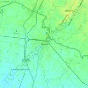
Name: Raxaul topographic map, elevation, terrain.

Location: Raxaul, Purba Champaran, Bihar, 845305, India (26.94333 84.81231 27.02333 84.89231)

Average elevation: 81 m

Minimum elevation: 75 m

Maximum elevation: 87 m

Gear up for your next adventure:

💧Hydration Bladder - Hands-free hydration solution for long treks
🧥Softshell Hiking Jacket - The perfect balance of wind protection and breathability
🔦LED Headtorch - Bright and durable light for night activities
🛌Insulated Sleeping Pad - Critical thermal barrier between you and the cold ground
Family Camping Tent - Spacious tent suitable for family camping trips

As an Amazon Associate, this site earns from qualifying purchases at no extra cost to you.