
Kildoon topographic map
Interactive map
Click on the map to display elevation.
About this map
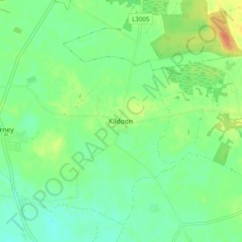
Name: Kildoon topographic map, elevation, terrain.
Average elevation: 74 m
Minimum elevation: 61 m
Maximum elevation: 96 m
Other topographic maps
Click on a map to view its topography, its elevation and its terrain.
The Municipal District of Clane — Maynooth
The Municipal District of Clane — Maynooth, County Kildare, Leinster, Ireland
Average elevation: 86 m
Rosetown
Rosetown, Grangemellon ED, The Municipal District of Athy, County Kildare, Leinster, Ireland
Average elevation: 66 m
The Municipal District of Naas
The Municipal District of Naas, County Kildare, Leinster, Ireland
Average elevation: 152 m