
Trujillo topographic map
Interactive map
Click on the map to display elevation.
About this map
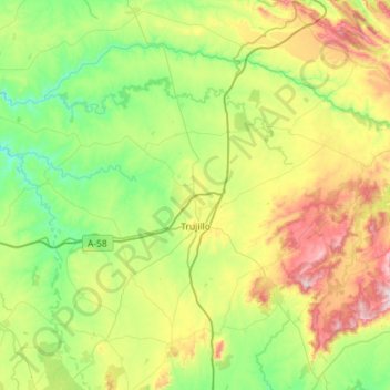
Name: Trujillo topographic map, elevation, terrain.
Location: Trujillo, Cáceres, Extremadura, 10200, España (39.32240 -6.30515 39.66723 -5.73075)
Average elevation: 475 m
Minimum elevation: 241 m
Maximum elevation: 1,013 m