Geolocate

Nawagaon topographic map

Click on the map to display elevation.

About this map

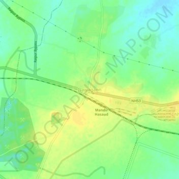
Name: Nawagaon topographic map, elevation, terrain.

Location: Nawagaon, Arang Tahsil, Raipur, Chhattisgarh, 490011, India (21.20954 81.75092 21.24954 81.79092)

Average elevation: 305 m

Minimum elevation: 293 m

Maximum elevation: 316 m

Other topographic maps

Click on a map to view its topography, its elevation and its terrain.

Kulhan

India > Chhattisgarh > Arang Tahsil

Average elevation: 285 m

Gear up for your next adventure:

🦯Trekking Poles - Reduced impact on joints for steep topographic climbs
🧼Biodegradable Camp Soap - Environmentally friendly cleaning for gear and body
🧴Insect Repellent - Protect yourself from bugs during outdoor adventures
💡Solar Camping Lamp - Eco-friendly lighting for campsites
🥾Mountain Hiking Shoes - Shoes with superior grip for mountainous terrain

As an Amazon Associate, this site earns from qualifying purchases at no extra cost to you.