Geolocate

Bokakhat topographic map

Click on the map to display elevation.

About this map

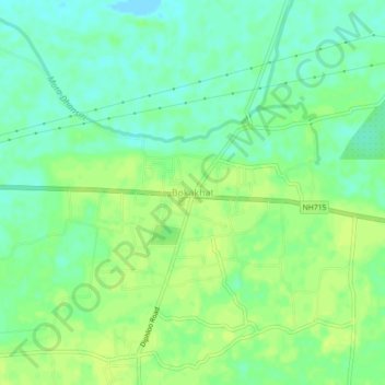
Name: Bokakhat topographic map, elevation, terrain.

Location: Bokakhat, Golaghat, Assam, India (26.62094 93.58035 26.66094 93.62035)

Average elevation: 82 m

Minimum elevation: 73 m

Maximum elevation: 88 m

Gear up for your next adventure:

🎒Fully Waterproof Backpack - Total protection for photography gear and electronics
🔋Solar Power Bank - Keep your GPS and devices charged during long outdoor trips
🚲MTB Frame Bag - Carry tools and maps directly on your bicycle frame
🕶️Polarized Sunglasses - Protect your eyes with durable polarized lenses
🛶Kayak Dry Bag - Waterproof storage for kayaking adventures

As an Amazon Associate, this site earns from qualifying purchases at no extra cost to you.