Geolocate

Mont Shefford topographic map

Click on the map to display elevation.

About this map

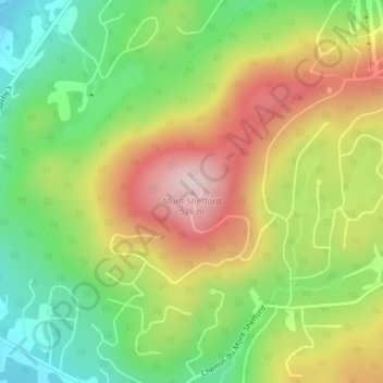
Name: Mont Shefford topographic map, elevation, terrain.

Location: Mont Shefford, Shefford, La Haute-Yamaska, Estrie, Quebec, J2M 1R5, Canada (45.36277 -72.62607 45.36287 -72.62597)

Average elevation: 308 m

Minimum elevation: 140 m

Maximum elevation: 511 m

La Haute-Yamaska trails, hiking, mountain biking, running and outdoor activities

Gear up for your next adventure:

📷Outdoor Action Camera - Capture high-elevation views and rugged adventures
🕶️Polarized Sunglasses - Reduces glare from snow and water at high elevations
🥾Light Hiking Boots - Lightweight and comfortable boots for day hikes
💡Solar Camping Lamp - Eco-friendly lighting for campsites
🥾Waterproof Trail Shoes - Shoes designed to handle wet terrain

As an Amazon Associate, this site earns from qualifying purchases at no extra cost to you.