
Wilton topographic map
Click on the map to display elevation.
About this map
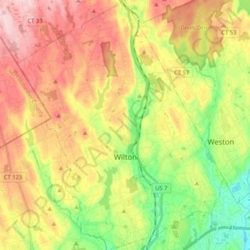
Name: Wilton topographic map, elevation, terrain.
Average elevation: 118 m
Minimum elevation: -3 m
Maximum elevation: 243 m
Other topographic maps
Click on a map to view its topography, its elevation and its terrain.
Noroton
United States > Connecticut > Western Connecticut Planning Region > Darien
Average elevation: 18 m
King Street
United States > Connecticut > Western Connecticut Planning Region > Danbury
Average elevation: 238 m