
Make a donation
Gear up for your next adventure:
As an Amazon Associate, this site earns from qualifying purchases at no extra cost to you.
Friendsville topographic map
Click on the map to display elevation.
Make a donation
Gear up for your next adventure:
As an Amazon Associate, this site earns from qualifying purchases at no extra cost to you.
About this map
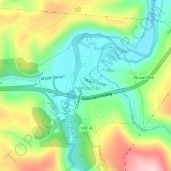
Name: Friendsville topographic map, elevation, terrain.
Location: Friendsville, Garrett County, Maryland, United States (39.65441 -79.41512 39.67096 -79.39321)
Average elevation: 528 m
Minimum elevation: 437 m
Maximum elevation: 679 m
Make a donation
Gear up for your next adventure:
As an Amazon Associate, this site earns from qualifying purchases at no extra cost to you.
Other topographic maps
Click on a map to view its topography, its elevation and its terrain.
Hoye-Crest
United States > Maryland > Garrett County
Hoye-Crest is a summit along Backbone Mountain just inside of Garrett County, Maryland. It is the highest natural point in Maryland at an elevation of 3,360 feet (1,020 m).
Average elevation: 887 m
Make a donation
Gear up for your next adventure:
As an Amazon Associate, this site earns from qualifying purchases at no extra cost to you.