Geolocate

Bath topographic map

Click on the map to display elevation.

About this map

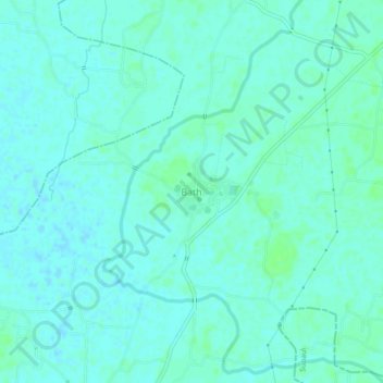
Name: Bath topographic map, elevation, terrain.

Location: Bath, Madhepur, Madhubani, Bihar, 841414, India (26.19562 86.37449 26.23562 86.41449)

Average elevation: 49 m

Minimum elevation: 46 m

Maximum elevation: 55 m

Gear up for your next adventure:

🧦Crew Hiking Socks - Comfortable socks for long-distance hikes
🧣Evaporative Cooling Towel - Beat the heat during intense summer climbs
🛌Down Sleeping Bag - Superior warmth-to-weight ratio for cold nights
🧥Waterproof Pants - Keep dry during rainy hiking conditions
🗺️Topographic Maps - Detailed maps to explore trails, mountains, and wilderness areas

As an Amazon Associate, this site earns from qualifying purchases at no extra cost to you.